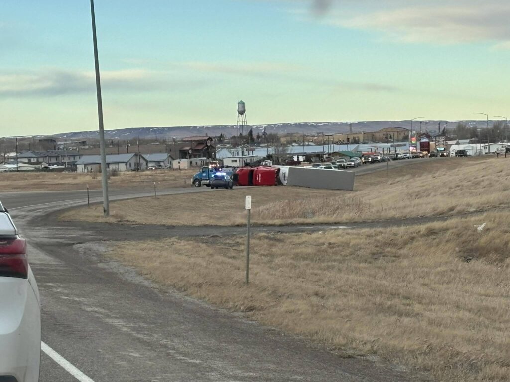
Nick Vertz, a forecaster from the National Weather Service in Billings, predicts more strong winds for Montana following last week’s 101-mph wind event in Glacier County. Weather conditions on Tuesday night and Wednesday are expected to bring exceptionally strong gusts. Statewide, Montana is under a high-wind warning with winds forecasted to reach 58 mph or more.
Vertz commented on the recent weather patterns, saying, “I joke that the weather’s just playing catch up with how mild of a fall and start to the winter we had.” The immediate concern is the strong winds moving west to east through Montana until late Wednesday.
The winds are particularly concerning because they are coming from higher altitudes and are unusually strong, which Vertz linked to warm weather pushing these high-speed winds downward. Drivers traveling north or south should exercise caution due to the strong crosswinds.
With ongoing flooding in northwest Montana, areas with saturated soil are at high risk for wind damage, according to Bryan Conlan, a meteorologist from Missoula. Strong winds could easily topple trees in these regions. Conlan warned, “Anywhere within western Montana at this point, with these strong to damaging winds, trees could blow over.”
Gov. Greg Gianforte has requested a presidential disaster declaration due to the recent floods. In addition, moisture from the Pacific Northwest, known as “atmospheric rivers,” is continuing to bring precipitation further aggravating the situation.
A strong cold front is set to mix with this moisture, leading to a blend of rain and snow and further intensifying the already severe weather conditions. High winds were recorded in Glacier National Park, reaching nearly 100 mph.
Conlan emphasized the severity of the situation, stating, “This is going to be a fairly strong event.”
—
Read More Montana News

