Tornado Alerts Sweep Across Northern Arizona, Largest Since 2010
Residents of northern Arizona found themselves under a series of tornado warnings on Wednesday morning, marking the most extensive alert event the state has seen in over a decade.
The region experienced severe weather conditions, including hail the size of golf balls, numerous emergency alerts, and heavy rainfall.
Ryan Bernhart, a meteorologist with the National Weather Service, noted, “There’s been an occasional tornado in the state before, but as far as widespread warnings on tornado warnings, yes, this is probably the biggest one since the 2010 event.”
The tornado outbreak in 2010 resulted in multiple tornadoes hitting the state within a single day, with one causing significant damage in the Bellemont area.
Bernhart emphasized the importance of seeking immediate shelter at the lowest level of a house when tornado or thunderstorm warnings are issued.
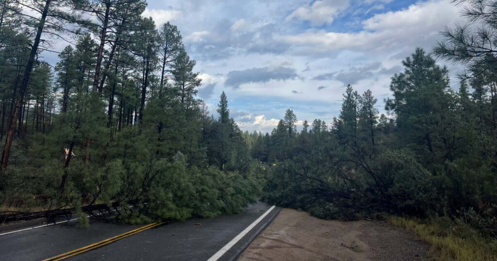
As of midday Wednesday, no confirmed tornado touchdowns had been reported in northern Arizona, though some evidence suggests a possible tornado may have reached the ground.
Richard Alun Davis
/
KNAU
“We have reports of some downed trees in the Wing Mountain area,” Bernhart said. “We’re not 100% sure if that’s due to a tornado, but that’s the closest thing we’ve heard.”
The 2010 tornado event took place south of Wing Mountain, near Bellemont.
The meteorologist anticipates the weather system to progress eastward. “This is going to be going out throughout the day and maybe even into the nighttime hours,” he explained. “This low pressure system is not going to fully pull out of here until sometime Thursday evening. So tomorrow the threat might shift a little bit to the east, probably Flagstaff eastward, but the rest of today is going to be very active.”
Arizona’s geographical and climatic conditions typically do not favor tornado formation. However, Bernhart explained, “But when we get an upper level trough or storm system coming in from the Pacific and it interacts with some of the subtropical moisture, that storm system will give us the shear and even some of the rotational shear needed to potentially produce supercells and tornadoes like you would see out in the Great Plains.”
The National Weather Service has issued a “Tornado Watch” for Coconino, Yavapai, and Navajo counties, effective until 6 p.m. on October 21.
—
Read More Arizona News